- Romantic Restaurants
- Casual Restaurants
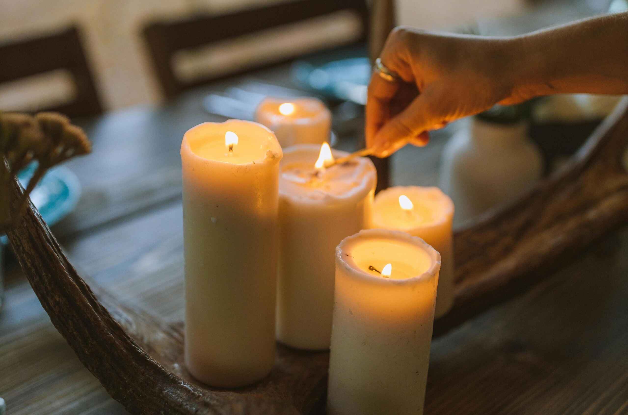
- Romantic Spots
- Bed & Breakfast
- Hotels
- Things to Do
- Hiking & Biking
- Flights
- Home
- Wildflowers & Roses
- T-Shirts
- Wildflowers Only T-Shirts
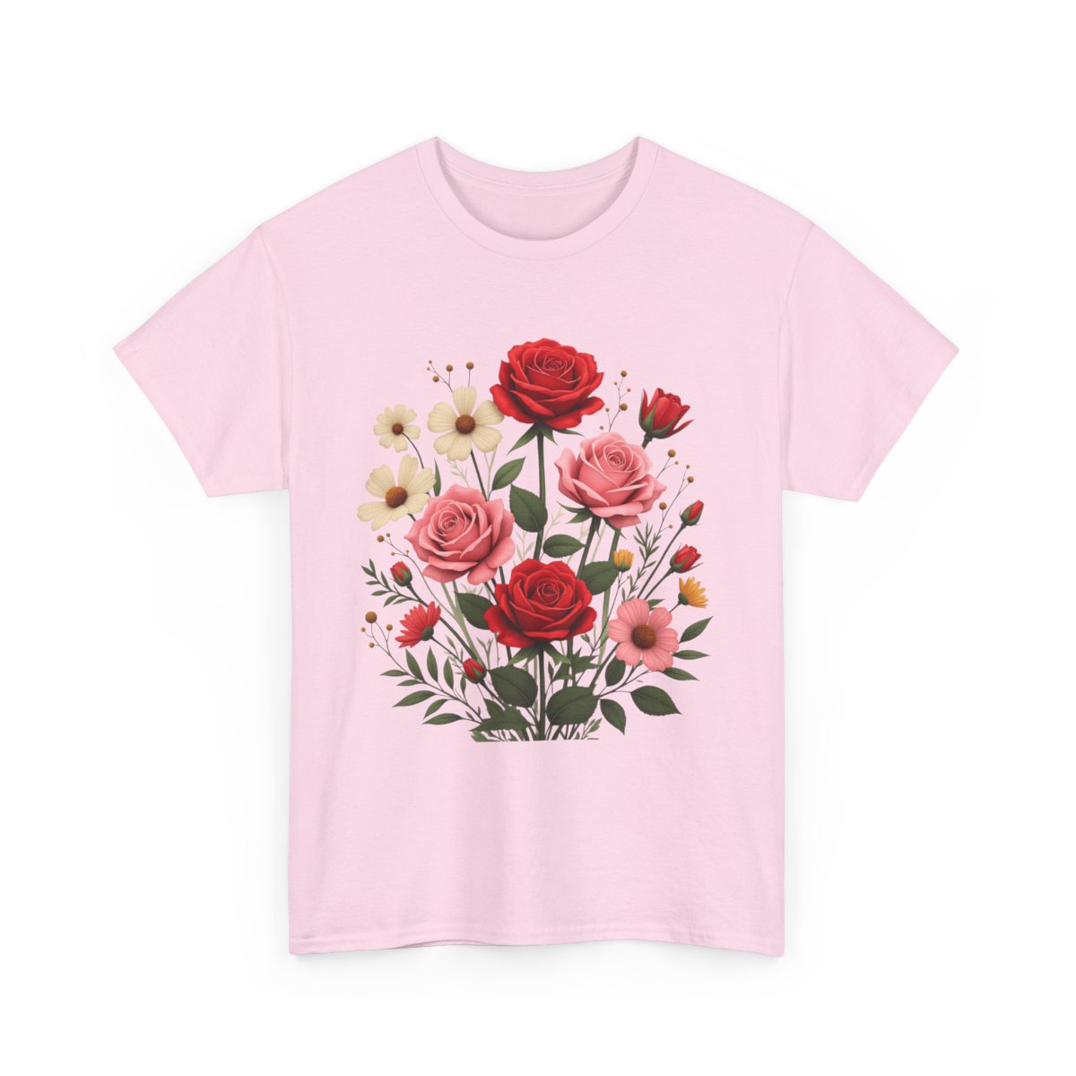
- Red Roses & Wildflowers T-Shirts
- Pink Roses & Wildflowers T-Shirts
- Blue Roses & Wildflowers T-Shirts
- Violet Roses & Wildflowers T-Shirts
- Yellow Roses & Wildflowers T-Shirts
- White Roses & Wildflowers T-Shirts
- Orange Roses & Wildflowers T-Shirts
- Sunflowers & Wildflowers T-Shirts
- Romance & Relationships T-Shirts
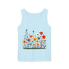
- Tank Tops
- Wildflowers Only Tank Tops
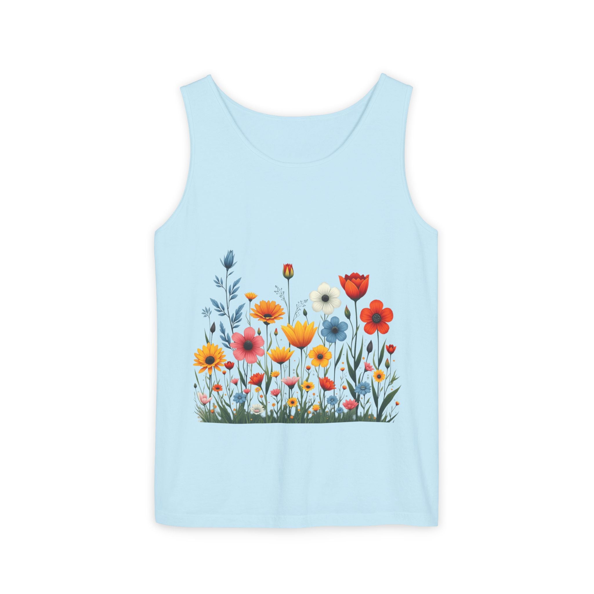
- Red Roses & Wildflowers Tank Tops
- Pink Roses & Wildflowers Tank Tops
- Blue Roses & Wildflowers Tank Tops
- Violet Roses & Wildflowers Tank Tops
- Yellow Roses & Wildflowers Tank Tops
- White Roses & Wildflowers Tank Tops
- Orange Roses & Wildflowers Tank Tops
- Sunflowers & Wildflowers Tank Tops
- Romance & Relationships Tank Tops
- Hoodies & Sweatshirts
- Wildflowers Only Hoodies
- Red Roses & Wildflowers Hoodies
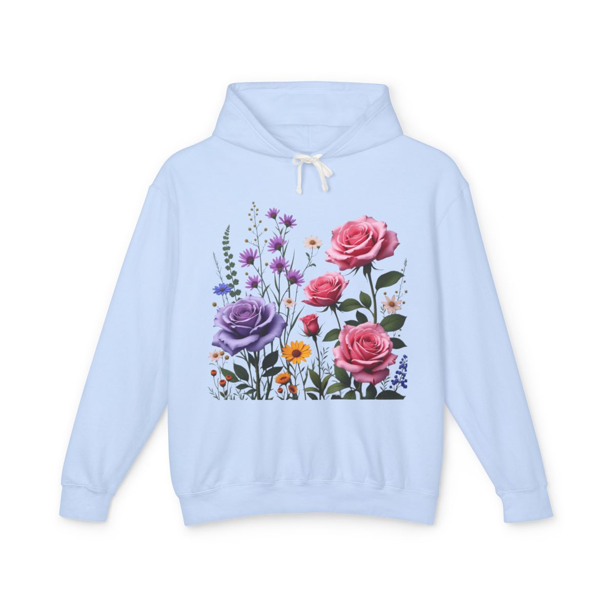
- Pink Roses & Wildflowers Hoodies
- Violet Roses & Wildflowers Hoodies
- Yellow Roses & Wildflowers Hoodies
- White Roses & Wildflowers Hoodies
- Orange Roses & Wildflowers Hoodies
- Blue Roses & Wildflowers Hoodies
- Sunflowers & Wildflowers Hoodies
- Romance & Relationships Hoodies
- T-Shirts
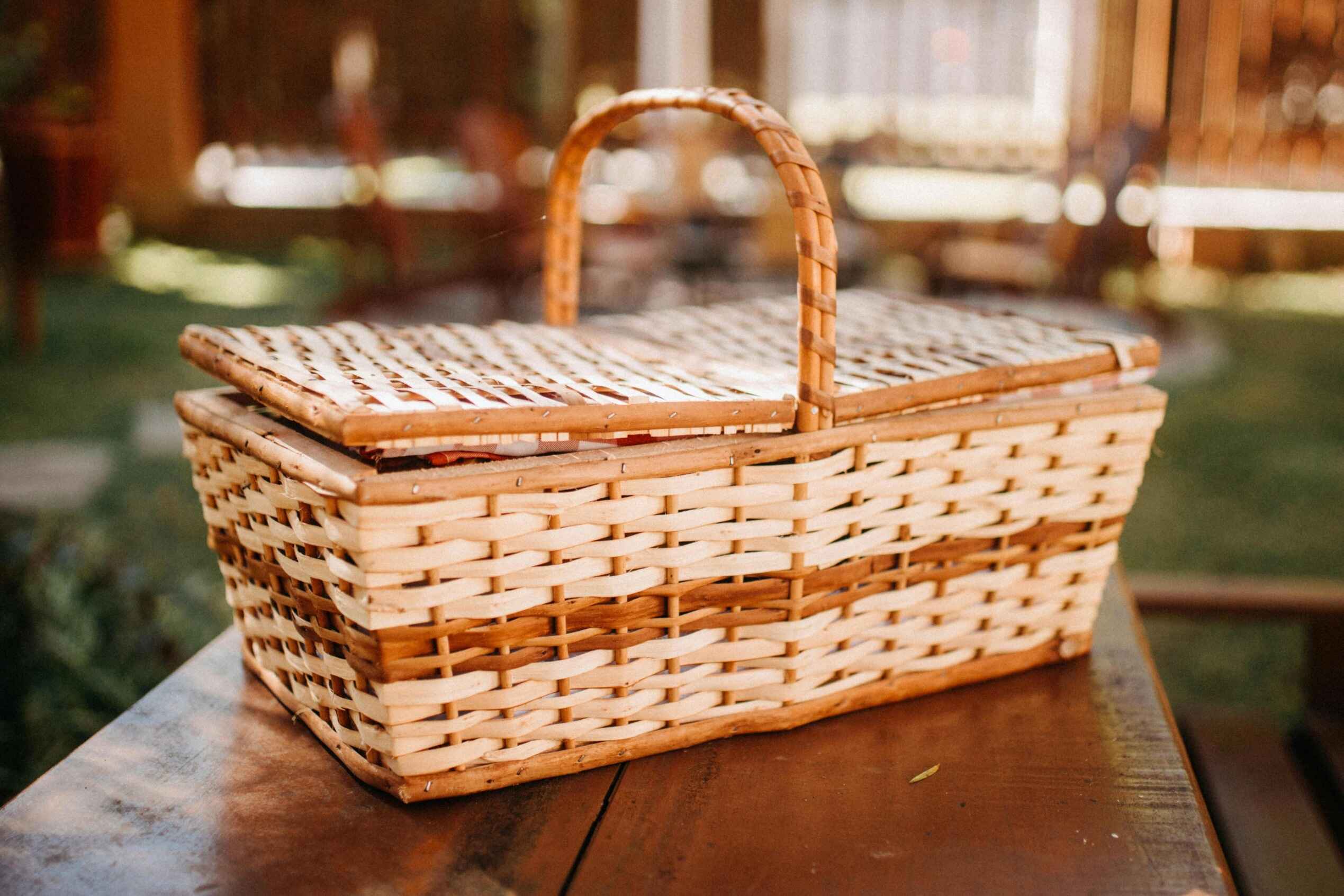
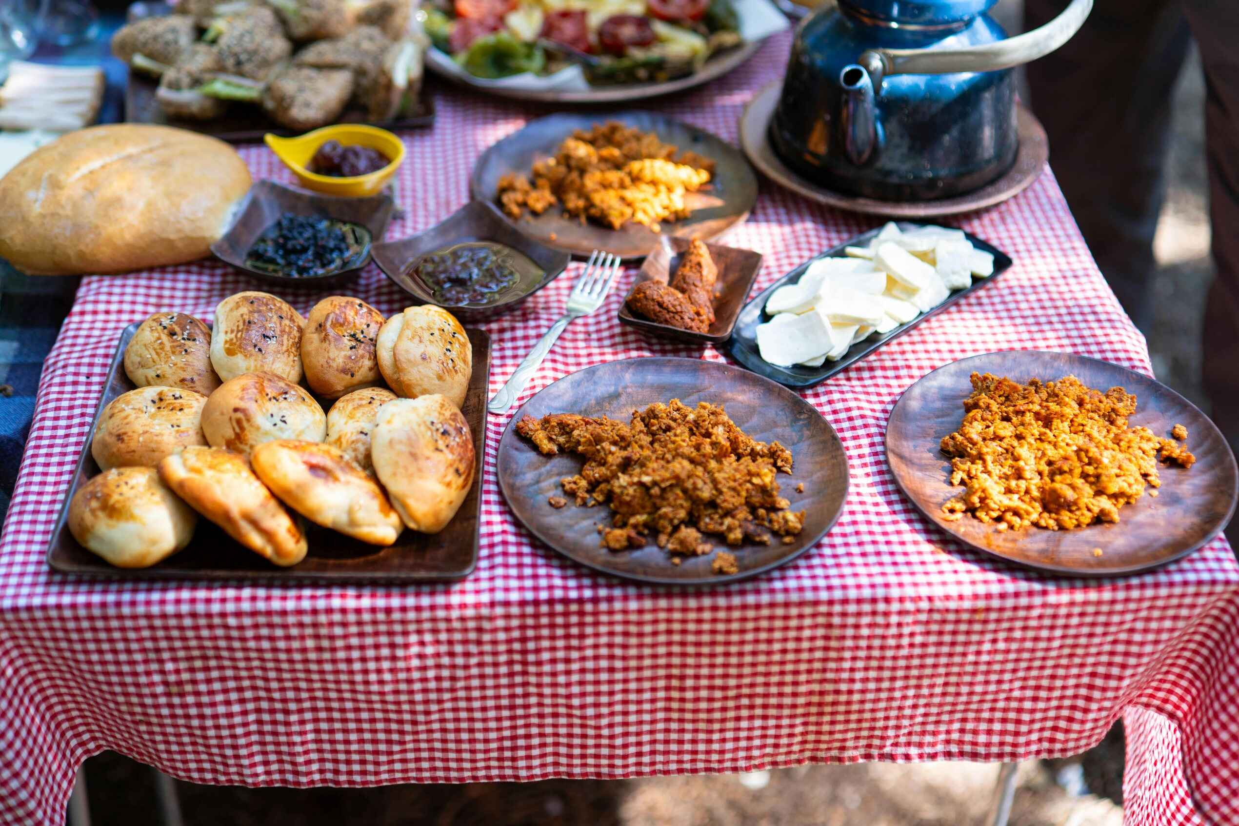
- Picnic Supplies
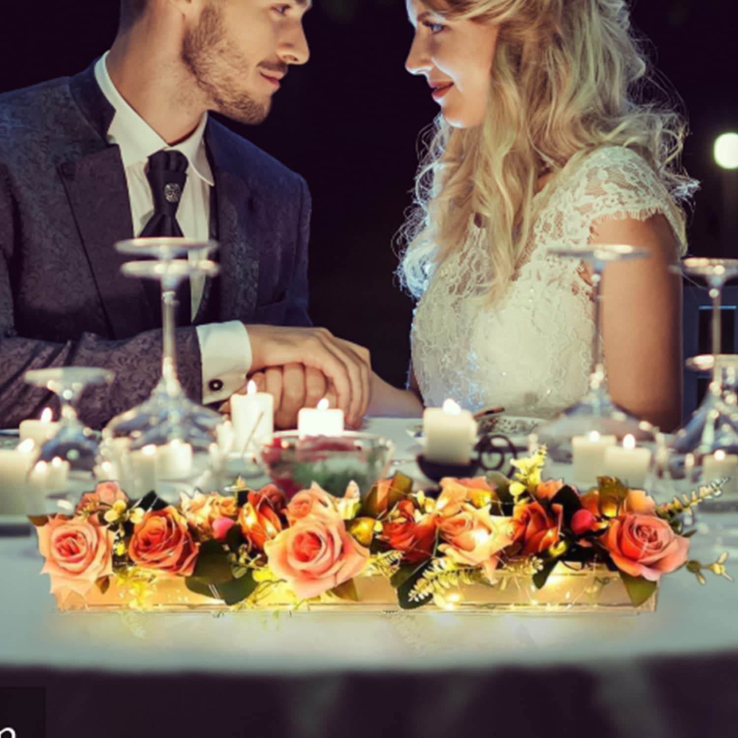
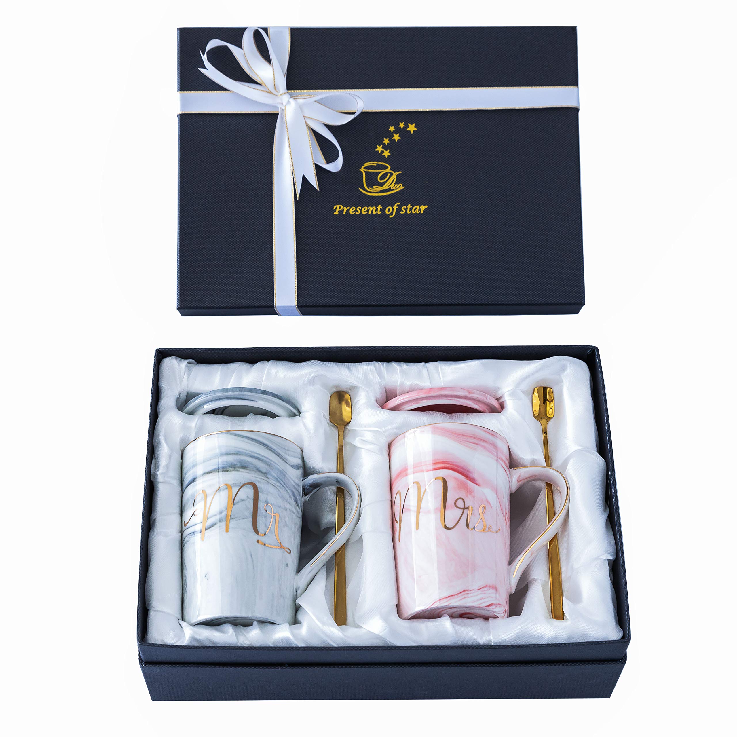
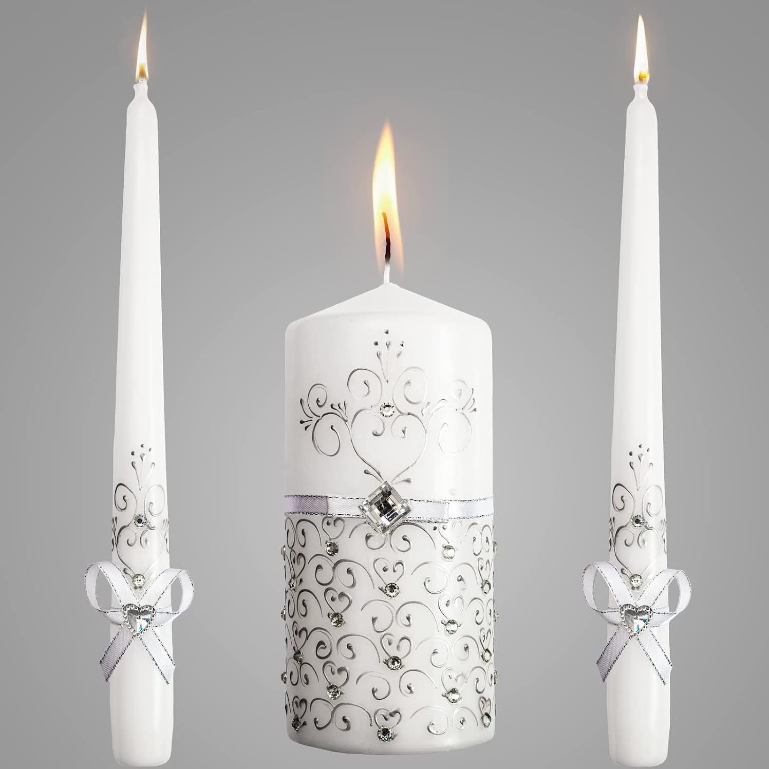
- Weddings
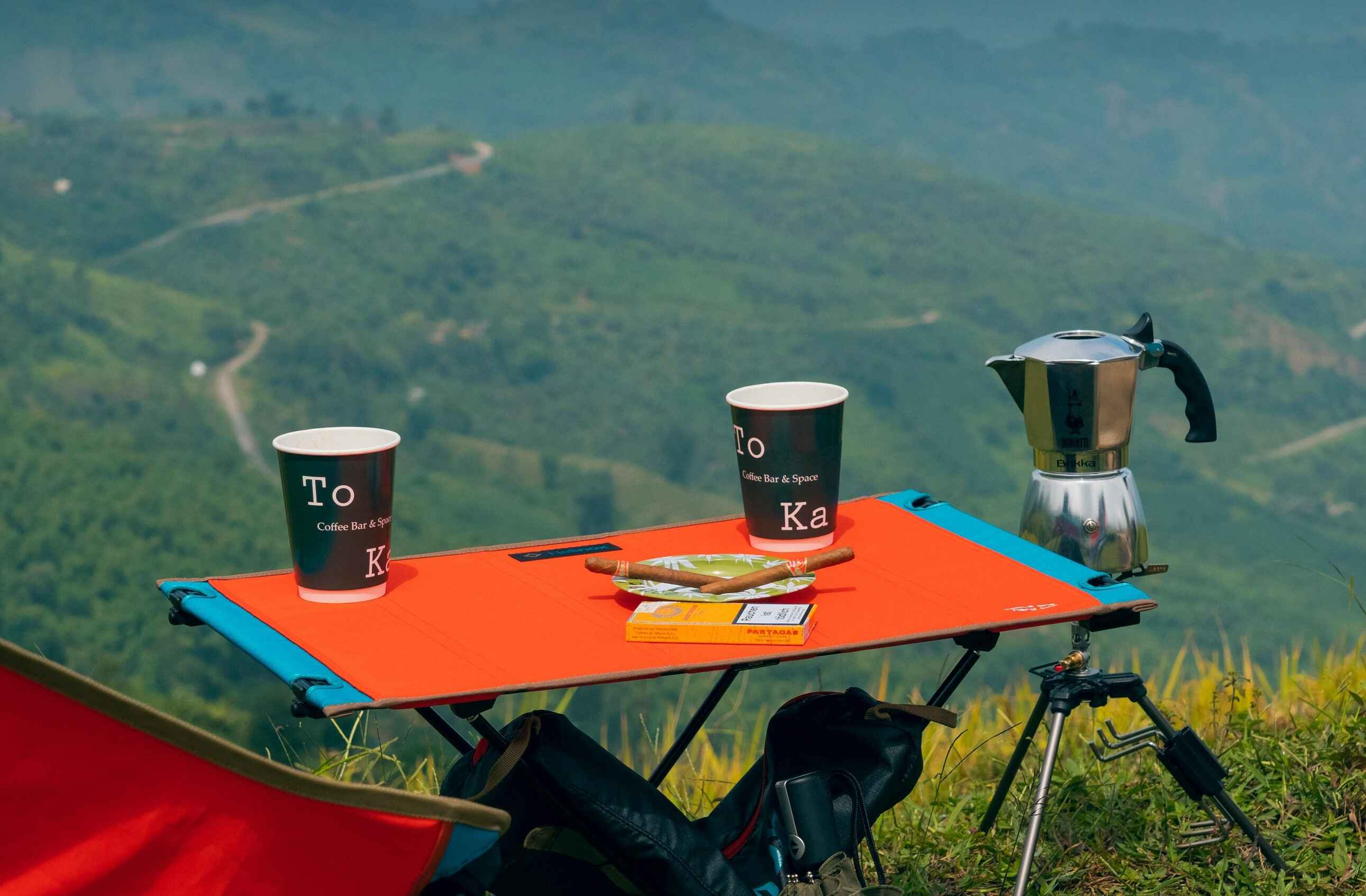
- Camping